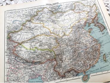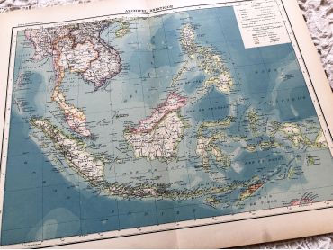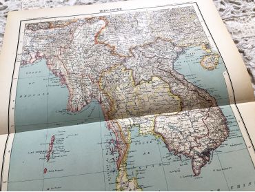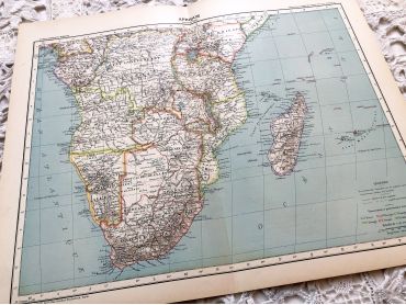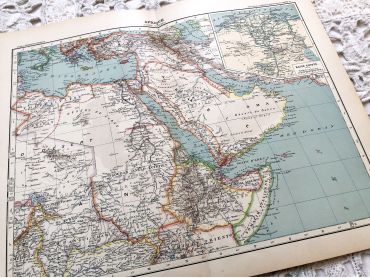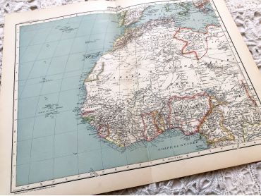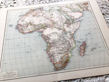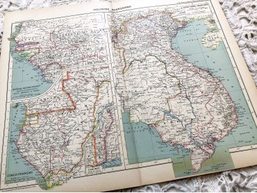
Large vintage map of French colonies in Africa and Asia...
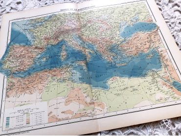
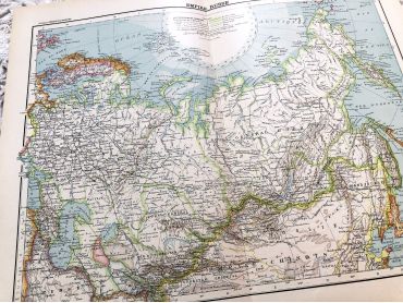
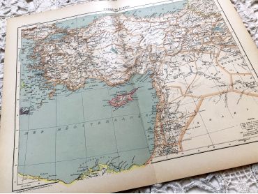
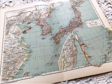
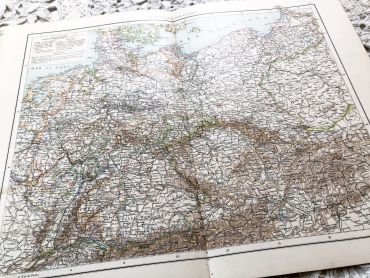
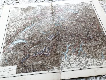
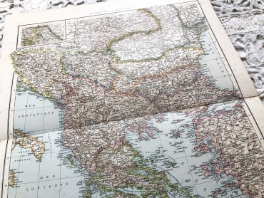
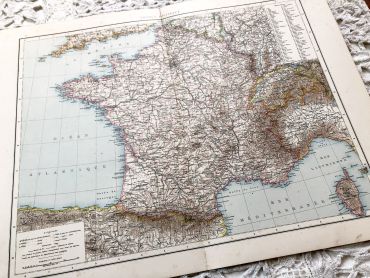
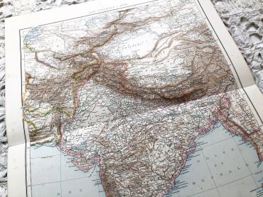
Large vintage map of French colonies in Africa and Asia in 1910 from a French atlas of the 1910s. This map on two pages measures 46 x 37 cm and forms the front of the document.
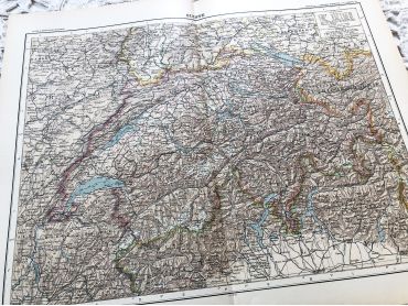
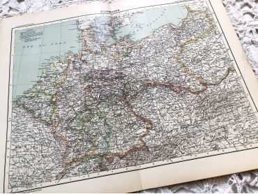
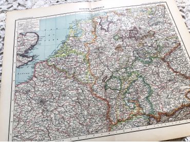
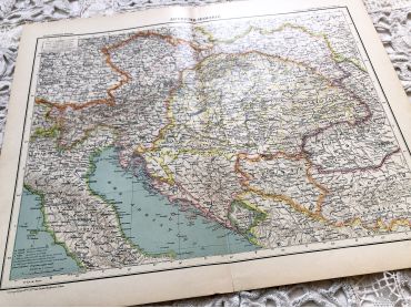
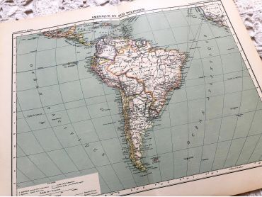
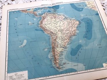
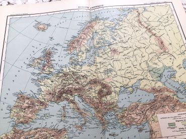
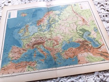
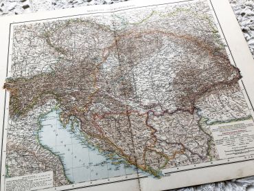
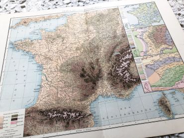
These maps show the world as it was in 1910s...
Price
€10.00