Set of 3 Vintage French postcards of the city of Nancy...
Set of 3 Vintage French postcards of the city of Nancy from 1930s with Stanilas Square, Government Palace and Career Square Hemicycle.
There are 99 products.
Set of 3 Vintage French postcards of the city of Nancy from 1930s with Stanilas Square, Government Palace and Career Square Hemicycle.
French postcard representing a young woman surrounded by flowers with the legend "Bonne fête". This postcard dates from 1900s.
In Europe and probably in other countries, it is tradition to wish a "bonne fête" to relatives and friends according to their first name and the calendar of saints. It is a tradition dating from the 16th century that lasted until the beginning of the 20th century and is gradually being lost.
Huge French lottery tickets "Le petit quinquin" from 1942.
These lottery tickets were sold on the street or in small shops to help veterans.
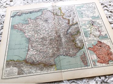
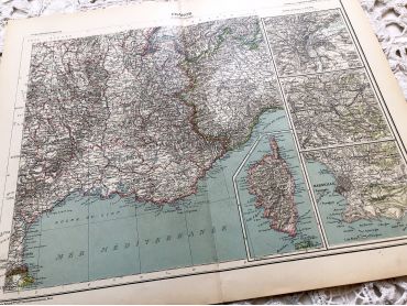
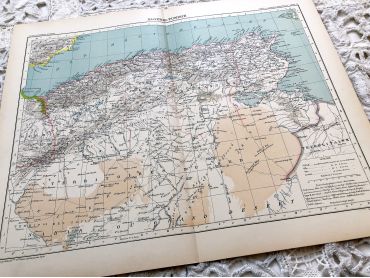
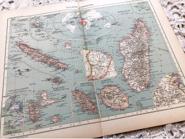
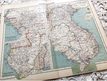
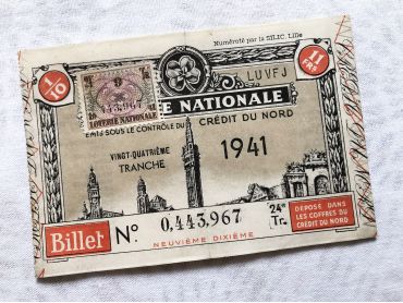
Huge French lottery tickets "Loterie Nationale" from 1941.
These lottery tickets were sold on the street or in small shops to help veterans.
French postcard representing a young woman surrounded by flowers with the legend "Bonne fête". This postcard dates from 1900s. it has been sent, but the back is unwritten.
Large vintage map of Asia from a French atlas of the 1910s. This map on two pages measures 46 x 37 cm and forms the front of the document.
These maps show the world as it was in 1910s...
Large vintage map of Asia from a French atlas of the 1910s. This map on two pages measures 46 x 37 cm and forms the front of the document.
These maps show the world as it was in 1910s...
Large vintage map of northern South America (Peru, Surinam, Columbia, etc.) from a French atlas of the 1910s. This map on two pages measures 46 x 37 cm and forms the front of the document.
These maps show the world as it was in 1910s...
Large vintage map of southern South America (Chili, Brazil, Argentina) from a French atlas of the 1910s. This map on two pages measures 46 x 37 cm and forms the front of the document.
These maps show the world as it was in 1910s...
Large vintage map of India and Nepal from a French atlas of the 1910s. This map on two pages measures 46 x 37 cm and forms the front of the document.
These maps show the world as it was in 1910s...
Large vintage map of Western Russia and Romania (and Poland, Bulgaria, etc.) from a French atlas of the 1910s. This map on two pages measures 46 x 37 cm and forms the front of the document.
These maps show the world as it was in 1910s...
Large vintage map of Persia and Afghanistan (Iran, Iraq, Arabia, etc.) from a French atlas of the 1910s. This map on two pages measures 46 x 37 cm and forms the front of the document.
These maps show the world as it was in 1910s...
Large vintage map of the political Africa from a French atlas of the 1910s. This map on two pages measures 46 x 37 cm and forms the front of the document.
These maps show the world as it was in 1910s...
Large vintage map of Africa from a French atlas of the 1910s. This map on two pages measures 46 x 37 cm and forms the front of the document.
These maps show the world as it was in 1910s...
Large vintage map of France from a French atlas of the 1910s. This map on two pages measures 46 x 37 cm and forms the front of the document.
These maps show the world as it was in 1910s...
Large vintage map of France geological and hypsometric from a French atlas of the 1910s. This map on two pages measures 46 x 37 cm and forms the front of the document.
These maps show the world as it was in 1910s...
Large vintage map of France physical and administrative from a French atlas of the 1910s. This map on two pages measures 46 x 37 cm and forms the front of the document.
These maps show the world as it was in 1910s...
Large vintage map of north-west of France and Brest harbor from a French atlas of the 1910s. This map on two pages measures 46 x 37 cm and forms the front of the document.
These maps show the world as it was in 1910s...
Large vintage map of the north-east of France and the cities of Rouen, Lille and Le Havre from a French atlas of the 1910s. This map on two pages measures 46 x 37 cm and forms the front of the document.
These maps show the world as it was in 1910s...
Large vintage map of South-East France and the cities of Paris and Bordeaux from a French atlas of the 1910s. This map on two pages measures 46 x 37 cm and forms the front of the document.
These maps show the world as it was in 1910s...
Large vintage map of south-east of France, Corsica, and the cities of Marseille, Lyon from a French atlas of the 1910s. This map on two pages measures 46 x 37 cm and forms the front of the document.
These maps show the world as it was in 1910s...
Large vintage map of Algeria and Tunisia from a French atlas of the 1910s. This map on two pages measures 46 x 37 cm and forms the front of the document.
These maps show the world as it was in 1910s...
Large vintage map of the French colonies in 1910 (as Martinique, Guadeloupe, Guyane, etc.) from a French atlas of the 1910s. This map on two pages measures 46 x 37 cm and forms the front of the document.
These maps show the world as it was in 1910s...
Large vintage map of French colonies in Africa and Asia in 1910 from a French atlas of the 1910s. This map on two pages measures 46 x 37 cm and forms the front of the document.
These maps show the world as it was in 1910s...