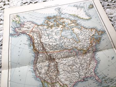
Huge vintage map of North America from a French atlas of...
Huge vintage map of North America from a French atlas of the 1910s. This map on two pages measures 54 x 41 cm and forms the front of the document.
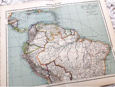
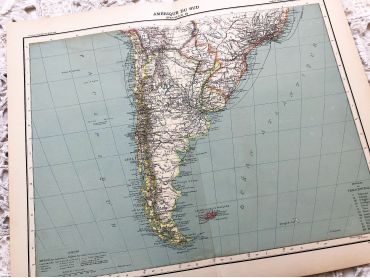
The back consists of a map of the northern part of South America (41 x 27 cm) and a map of major gold-producing regions in Africa in 1910s (41 x 27 cm) as shown in the last two photos.
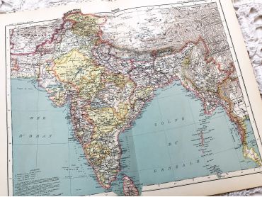
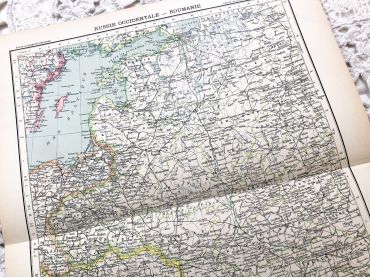
These maps show the world as it was in 1910s...
Price
€12.00