Old French photograph of a young woman of the middle...
Old French photograph of a woman of the middle class from 1930s.
The date was inscribed in pencil "September 1931".
There are 128 products.
Active filters
Old French photograph of a woman of the middle class from 1930s.
The date was inscribed in pencil "September 1931".
Huge aerial photography of Paris from 1950s
You will can see on the picture (in French): La Place de la concorde, l'hôtel Crillon, l'ancien Ministère de la Marine, le Sacré Coeur, l'Opéra Garnier, l'obélisque de la Place de la Concorde, le début du jardin des Tuileries et de nombreuses voitures de l'époque.
Huge aerial photography of Paris from 1950s
You will can see on the picture (in French): Notre-Dame, le Palais de Justice, la Sainte-Chapelle, l'ancien magasin La Samaritaine, les théâtres du Châtelet, l'Hôtel de Ville de Paris, le Jardin des Plantes, la Gare de Lyon, etc.
Large French liner menu with an incredible choice of dishes.
This is the menu of December 31, 1961 aboard the liner "Flandre". The menus were different every day.
This liner made crossings between Europe and North America between 1952 and 1962 for the Compagnie Générale Transatlantique.
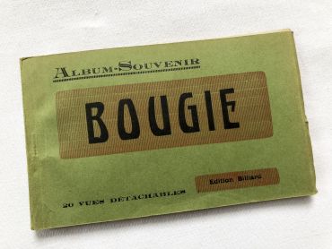
Booklet of 20 vintage postcards of the city of Bougie (now Béjaïa) in Algeria in the 1930s.
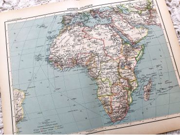
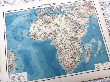
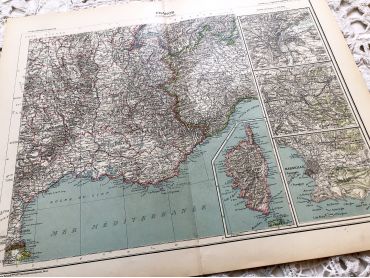
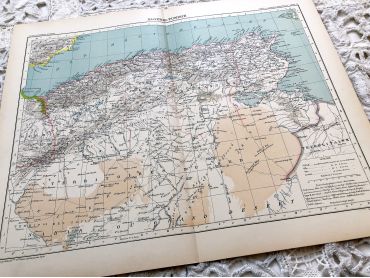
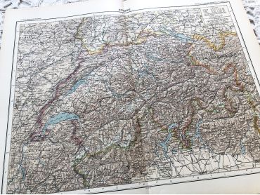
The department of Bougie was a French department of Algeria between 1958 and 1959. Considered since March 4, 1848 as an integral part of the French territory, Algeria was administratively organized in the same way as the metropolis. Thus, for a hundred years, the city of Bougie was a sub-prefecture of the department of Sétif until March 17, 1958.
The Bougie department was therefore created on this date, and included territories from both the departments of Setif and Constantine. He owned five sub-prefectures: Akbou, Djidjelli, Kherrata, Lafayette and Sidi-Aïch.
French postcard representing a young woman surrounded by flowers with the legend "Bonne fête". This postcard dates from 1900s.
In Europe and probably in other countries, it is tradition to wish a "bonne fête" to relatives and friends according to their first name and the calendar of saints. It is a tradition dating from the 16th century that lasted until the beginning of the 20th century and is gradually being lost.
French postcard representing a young woman surrounded by flowers with the legend "Bonne fête". This postcard dates from 1900s. it has been sent, but the back is unwritten.
Large vintage map of Asia from a French atlas of the 1910s. This map on two pages measures 46 x 37 cm and forms the front of the document.
These maps show the world as it was in 1910s...
Large vintage map of Asia from a French atlas of the 1910s. This map on two pages measures 46 x 37 cm and forms the front of the document.
These maps show the world as it was in 1910s...
Large vintage map of northern South America (Peru, Surinam, Columbia, etc.) from a French atlas of the 1910s. This map on two pages measures 46 x 37 cm and forms the front of the document.
These maps show the world as it was in 1910s...
Large vintage map of southern South America (Chili, Brazil, Argentina) from a French atlas of the 1910s. This map on two pages measures 46 x 37 cm and forms the front of the document.
These maps show the world as it was in 1910s...
Large vintage map of India and Nepal from a French atlas of the 1910s. This map on two pages measures 46 x 37 cm and forms the front of the document.
These maps show the world as it was in 1910s...
Large vintage map of Western Russia and Romania (and Poland, Bulgaria, etc.) from a French atlas of the 1910s. This map on two pages measures 46 x 37 cm and forms the front of the document.
These maps show the world as it was in 1910s...
Large vintage map of Persia and Afghanistan (Iran, Iraq, Arabia, etc.) from a French atlas of the 1910s. This map on two pages measures 46 x 37 cm and forms the front of the document.
These maps show the world as it was in 1910s...
Large vintage map of the political Africa from a French atlas of the 1910s. This map on two pages measures 46 x 37 cm and forms the front of the document.
These maps show the world as it was in 1910s...
Large vintage map of Africa from a French atlas of the 1910s. This map on two pages measures 46 x 37 cm and forms the front of the document.
These maps show the world as it was in 1910s...
Large vintage map of France from a French atlas of the 1910s. This map on two pages measures 46 x 37 cm and forms the front of the document.
These maps show the world as it was in 1910s...
Large vintage map of France geological and hypsometric from a French atlas of the 1910s. This map on two pages measures 46 x 37 cm and forms the front of the document.
These maps show the world as it was in 1910s...
Large vintage map of France physical and administrative from a French atlas of the 1910s. This map on two pages measures 46 x 37 cm and forms the front of the document.
These maps show the world as it was in 1910s...
Large vintage map of north-west of France and Brest harbor from a French atlas of the 1910s. This map on two pages measures 46 x 37 cm and forms the front of the document.
These maps show the world as it was in 1910s...
Large vintage map of the north-east of France and the cities of Rouen, Lille and Le Havre from a French atlas of the 1910s. This map on two pages measures 46 x 37 cm and forms the front of the document.
These maps show the world as it was in 1910s...
Large vintage map of South-East France and the cities of Paris and Bordeaux from a French atlas of the 1910s. This map on two pages measures 46 x 37 cm and forms the front of the document.
These maps show the world as it was in 1910s...
Large vintage map of south-east of France, Corsica, and the cities of Marseille, Lyon from a French atlas of the 1910s. This map on two pages measures 46 x 37 cm and forms the front of the document.
These maps show the world as it was in 1910s...
Large vintage map of Algeria and Tunisia from a French atlas of the 1910s. This map on two pages measures 46 x 37 cm and forms the front of the document.
These maps show the world as it was in 1910s...