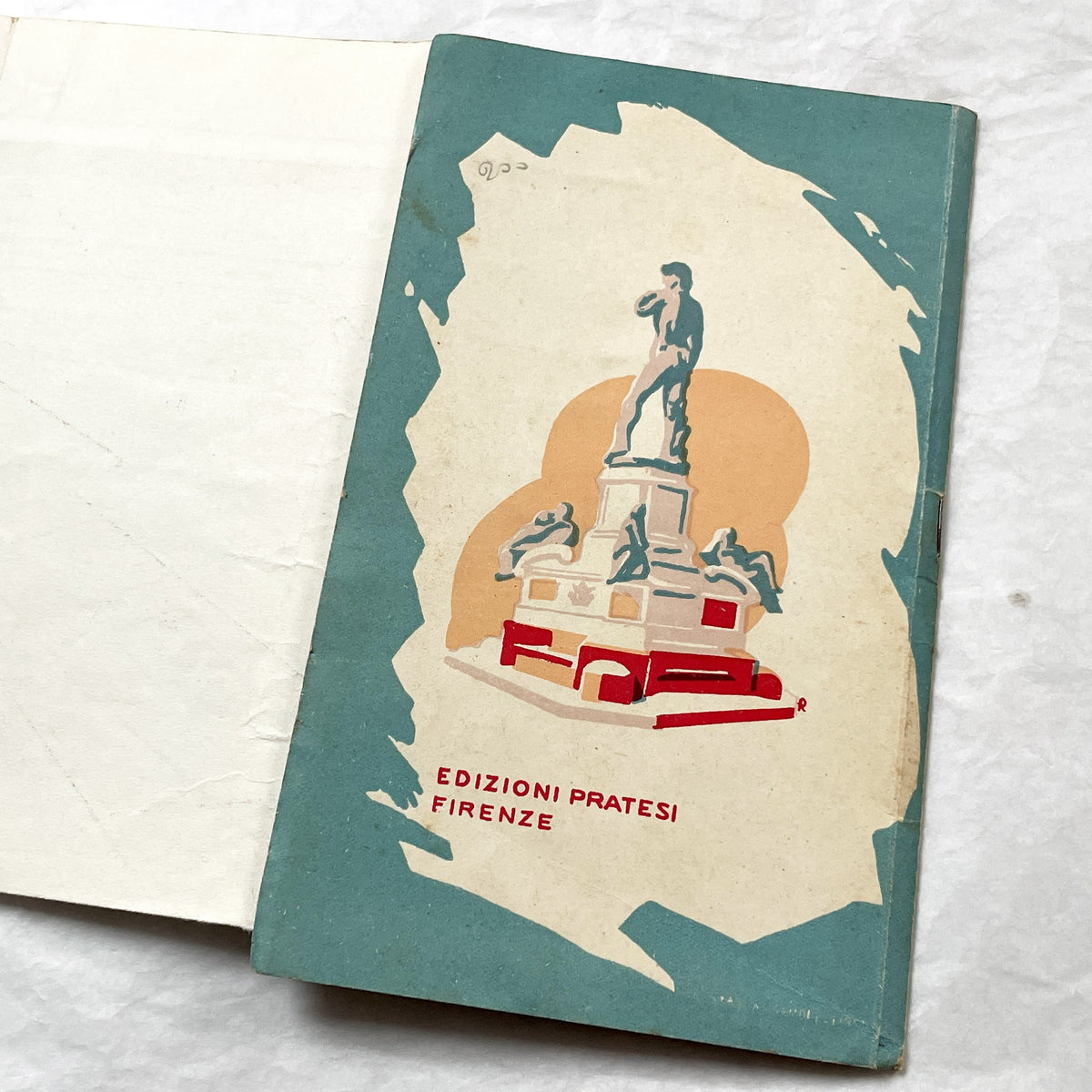


1950s - Vintage Florence Italy Map - City Plan with Index Booklet
1950s - Vintage Florence Italy Map - City Plan with Index Booklet
Sold
Taxes included.
Shipping calculated at checkout.
🕰️ Vintage from the 1950s
🤍 Handpicked by Vincent
📐 Dimensions: 19x11 cm (7.5x4.3 in)
📦 Carefully packed and shipped worldwide
🔒 Secure Shopify checkout · Credit cards, Apple Pay, Shop Pay, PayPal
🧾 Shipping & returns details
ℹ️ Shipping costs depend on destination and weight and are always shown clearly before payment.
Couldn't load pickup availability
This 1950s Italian monumental map of Florence provides a detailed city plan for exploration. The vintage piece offers a historical view of the city's layout and landmarks. Titled 'PIANTA MONUMENTALE DELLA CITTÀ DI FIRENZE,' which translates to 'Monumental Map of the City of Florence,' this item is presented with an accompanying index booklet. The map illustrates the major streets, historical buildings, and the Arno River, serving as a guide for navigating the city.
The cover features the iconic Florentine lily symbol, set against a silhouette of historic architecture. The accompanying booklet, titled 'INDICE delle principali Strade e Località contenute nella PIANTA MONUMENTALE di FIRENZE' (Index of the main streets and locations contained in the Monumental Map of Florence), lists points of interest. This set reflects the period's approach to travel and cartography, capturing the essence of Florence in the mid-20th century.
The cover features the iconic Florentine lily symbol, set against a silhouette of historic architecture. The accompanying booklet, titled 'INDICE delle principali Strade e Località contenute nella PIANTA MONUMENTALE di FIRENZE' (Index of the main streets and locations contained in the Monumental Map of Florence), lists points of interest. This set reflects the period's approach to travel and cartography, capturing the essence of Florence in the mid-20th century.
Explore more from our antique documents collection .
💬 Questions before or after purchase? We’re always happy to help.